
Search East Orange Streets by Address
An East Orange street search works best as an address-to-record workflow, not as a list of people. Begin with the full street address and retain the form shown in each record, including a unit or rear designation when present. The municipal assessor and tax-map function establish the parcel context. New Jersey Geographic Information Network, known as NJGIN, then checks the address against parcel geometry. Essex PRESS supplies the recorded-instrument trail, while an older directory may associate a printed name with the address for one publication year.
- Use the East Orange Property Taxation route and its linked tax search to identify the situs address, owner field, municipality, and block and lot when available.
- Check the same location through NJGIN Property Explorer. Search by address, county and municipality, or by block and lot, then compare parcel, road, address, and imagery context.
- Take the block and lot or recorded party name to Essex PRESS. Search an instrument, block and lot, document type, or grantor and grantee name rather than assuming a street name alone will find every deed.
- For an older household clue, ask the East Orange Public Library Local History Room whether the relevant Oranges directory has an alphabetical or street/reverse section. A directory entry is a dated publication association, not present-day proof.
- Use the state voter-status service only for its individual-status purpose. It is not a public street-by-street resident roster, and a registration result does not prove current physical presence.
Keep a short log with the source URL, search date, exact input, result count, and whether the item was an index hit, image, or copy. That makes it possible to revisit a changed address form without treating a guess as a fact.
East Orange Assessor Street Records
The assessor is the first local source for an East Orange by-address search because the office maintains property descriptions, tax maps, property cards, assessments, deductions, added or omitted assessments, and block-and-lot assignments. The city links its property-tax page to a state/county-hosted search. Tax data is an annual snapshot, so a recent transfer can appear in a deed before it appears in that year’s tax file.
The live East Orange form labels were not captured in the research. The table preserves the documented fields and the limits of that capture instead of treating expected controls as confirmed interface behavior.
| Assessor or tax field | Recorded use or result |
|---|---|
| Property address | Expected address route; use the complete situs address. Exact live format was not captured. |
| Owner name | Expected owner-name route. Partial-name and wildcard behavior was not captured. |
| Block, lot, qualifier | Expected parcel route; use it to connect tax and recorded-instrument research. |
| Municipality or county | Expected East Orange and Essex context; the exact selector options were not captured. |
| Result fields | Owner, situs address, separate mailing address if supplied, land/building/total assessment, class, tax year, deductions, taxes, and appeal information may be relevant. A sketch was not confirmed. |
The East Orange assessor page is the official starting point for this East Orange property-record path.
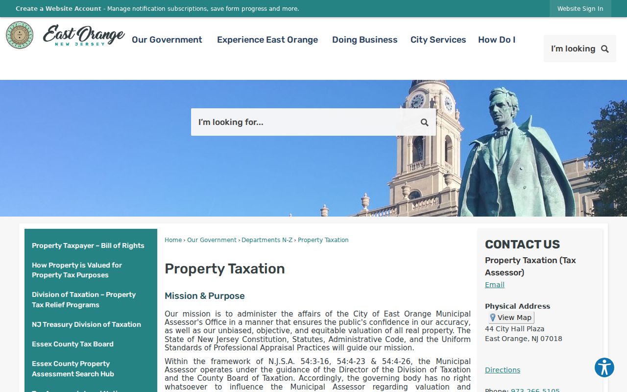
Use the municipal entry point to keep an assessment or tax result anchored to its custodian, then compare the record date with any deed date before describing ownership.
Note: A tax mailing address and a property address can differ, so they should be saved as separate fields.
East Orange Street Parcels in NJGIN
NJGIN is the official statewide parcel fallback when a dedicated East Orange GIS viewer has not been identified. Property Explorer documents searches by address, county, municipality, block, and lot. Its parcel, road, address, imagery, and available state layers help test whether the street location and legal municipality agree. The research did not capture the app’s full layer list, map-tool labels, or adjacent-parcel mechanics, so those features should be verified in the live tool before reliance.
NJGIN reported an Essex parcel-geometry update in August 2026 without a change to MOD-IV attributes. That distinction matters when an East Orange street search compares a refreshed parcel outline with assessment information that follows another update schedule.
| NJGIN field or control | Documented use |
|---|---|
| Address | One search route for New Jersey parcels. |
| County | One search route; select Essex for an East Orange parcel. |
| Municipality | One search route; East Orange is the relevant municipality. The full option list was not captured. |
| Block and lot | Parcel search route. Qualifier behavior was not captured. |
| Map layers | Available layers include parcels, roads, addresses, imagery, and state layers. The complete list was not captured. |
| Identify, select, and measure | Map-tool behavior was not exposed in the research capture and must be checked in the live application. |
The NJGIN Property Explorer entry page documents the statewide address and parcel routes.
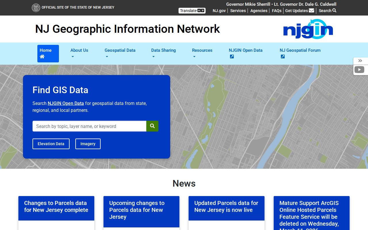
Map context can confirm the parcel and street relationship, but it cannot establish who occupies a home or a unit.
East Orange Street Directory Records
Different address records answer different questions. A parcel record can name an owner or show an assessment. PRESS can identify a recorded party and instrument. A permit file may identify an applicant or property contact. The city does not publish one official street directory of every occupant, so these sources should never be merged into a claim that every named person lives at the location.
| Address-linked source | Custodian | Reliable reading | Access path |
|---|---|---|---|
| Tax and assessor roll | East Orange Assessor | Owner, situs or mailing context, value, class, deductions, tax year, and appeal information | City property page and linked tax search; annual snapshot |
| Parcel and map layer | NJGIN | Parcel geometry, address, municipality, block and lot, and map context | State Property Explorer; dedicated city viewer not located |
| Deed, mortgage, lien, or notice | Essex Register through PRESS | Recorded party role, recording date, instrument, legal description, and book/page or image state | Free informational index; images and certified copies have limits |
| Permit, code, or violation record | East Orange departments | Address-linked application, alteration, inspection, or enforcement context | SDL after sign-up/login or a narrow OPRA request |
| Directory or clipping | East Orange Public Library Local History Room | Publication-year address association and historical context | Library inquiry; current online finding aid was not located |
| Postal validation | USPS | Current address-to-ZIP match | Address, city/state, or ZIP lookup; not residency proof |
A role label makes an East Orange address record more accurate. Use “recorded grantee,” “tax owner,” “permit applicant,” or “directory entry” rather than silently changing a source’s label to “resident.”
East Orange Street Numbers and ZIPs
Plans and Construction maintains East Orange street numbering and tax maps, yet no official citywide historical renumbering or street-renaming index was located. Preserve the address exactly as printed in a deed, map, or directory, then record a current equivalent separately if one is found. Do not overwrite an older number or spelling. For an address near Orange, West Orange, South Orange, Newark, or another nearby municipality, verify the parcel municipality and deed legal description rather than deciding from the street name alone.
USPS supports address, city-and-state, and ZIP routes. Current official facility evidence supports 07017 and 07018 as East Orange postal ZIPs. An archival delivery scheme includes 07019, but current delivery type and street coverage for that ZIP were not located. A ZIP match is postal validation, not proof that the address lies in East Orange or that a person is there.
Note: Keep the input address, USPS-normalized address, postal ZIP, legal municipality, tax municipality, block and lot, and source date separate.
East Orange Street Directory Permit Trails
For an address event rather than ownership, use the city-linked East Orange SDL portal or make a narrow records request. The city states that permits, violations, and additional property information can be searched by property address after sign-up or login. Search fields, date filters, result columns, download rules, and historical coverage were not captured, so the portal should not be described as a complete public permit index.
A request is more likely to be useful when it names the full address, date range, record type, and department. Building, Code Enforcement, Property Maintenance, Zoning, and Fire Prevention hold different files. The city’s Building office says permits and certificates can document construction, alteration, inspection, or a certificate event. The absence of an online result does not establish that no permit exists.
East Orange zoning verification has a documented written-request route through zoning@eastorange-nj.gov and a stated $25 fee. It is a land-use record, not an occupancy record.
East Orange Street Directory History
Older street work moves from the present parcel to sources that describe the address at a particular time. State Library and local-library leads identify East Orange-related directories for 1891, 1899, 1901, 1904, 1918, 1926 through 1928, 1963, and 1970. Several volumes combine East Orange with other Oranges communities or nearby places. Confirm the municipality heading and whether the volume has a street or reverse section before using a result.
The East Orange Public Library Main Library at 21 South Arlington Avenue is the local-history route. The Historical Society adopted its Local History Room, which has books, documents, letters, clippings, and East Orange and Essex material. The current database URL and finding aid were not located, so a request should name the street, year, and desired alphabetical or reverse section. Historical collections are covered in more detail in the East Orange city directory.
Sanborn maps add structure and use context. The Library of Congress catalog identifies an East Orange 1911 map republished in 1958 with 80 sheets. It can help identify a footprint, outbuilding, or commercial frontage, but it does not name people.
PRESS for East Orange Street Deeds
Essex PRESS is the Register of Deeds and Mortgages system for East Orange recorded instruments. Its search page states that the online index begins October 1, 1996. The Register separately says remote electronic transactions began May 1, 2001, while older Public Vault books reach the early 1700s. These are different milestones. An online index date, a remote-image date, and in-person book access should not be collapsed into one coverage claim.
Use the by-instrument, document-type, block-and-lot, or name modes to move from a known parcel to a deed chain. Document-type and block-and-lot searches display a maximum 90-day date range, so a long research span may need smaller searches. Capture the instrument number, document type, recording date, municipality, party names, block/lot if shown, and the View Image state. If no image is available, record “index only.”
- Parcel
- A defined piece of land used in tax and map systems, often identified by block, lot, and sometimes a qualifier.
- Situs address
- The physical property address. It is distinct from a tax mailing or business address.
- Plat
- A surveyed map that depicts lots, streets, and related land divisions. Do not assume every older record has one.
- Criss-cross directory
- A reverse directory arranged by street and number when a volume includes that section.
Mortgage-cancellation index entries before July 2, 2012 can lack remote images. Request an official copy or use the Hall of Records route rather than claiming that an unavailable image was reviewed. PRESS is informational and not a title search.
East Orange Street Records Since 1909
East Orange was incorporated as a city on January 1, 1909 after its earlier organization as a township in 1863. That timeline is useful context when an old directory or map uses a historical municipal description. It does not by itself change the parcel, deed, or directory evidence required for a specific address.
The city’s master plan also identifies I-280, Freeway Drive, and the Garden State Parkway as barriers affecting how nearby areas connect. When an older clipping uses a plan-area label or a nearby municipality, test the precise street, parcel municipality, and date. Highway geography can suggest a research question, but it is not a legal boundary rule.
Limits of East Orange Street Records
No East Orange street directory can establish every present occupant of a location. Property records identify a recorded owner or party. A directory prints an address association for its publication year. USPS validates delivery format. Court, voter, vital, and motor-vehicle records have separate access rules, and protected information must not be republished or assembled into an address profile.
New Jersey’s Address Confidentiality Program provides substitute addresses for eligible people, and Daniel’s Law supports suppression for covered persons. Respect a redaction or substitute address. Do not seek an alternate source to reconstruct a protected home address. A legitimate no-record response is information about access limits, not an invitation to search more aggressively.